Filling the gaps in traffic data: how Oxfordshire did it
The Oxfordshire project case

Key information
- Sensor and data hosting
- Data analysis (consultancy)
- Long-term monitoring
- Citizen Engagement
- Speed monitoring
- Infrastructure implementation (bike lanes, ...)
- Traffic safety
Oxfordshire is a large, upper-tier authority that already invests in premium monitoring, but chose Telraam alongside temporary surveys to cover other parts of its network. Telraam devices support the monitoring council's LTCP and Active Travel Strategy, supporting goals on reducing car dependency, improving safety and cutting emissions.
Filling in the Gaps
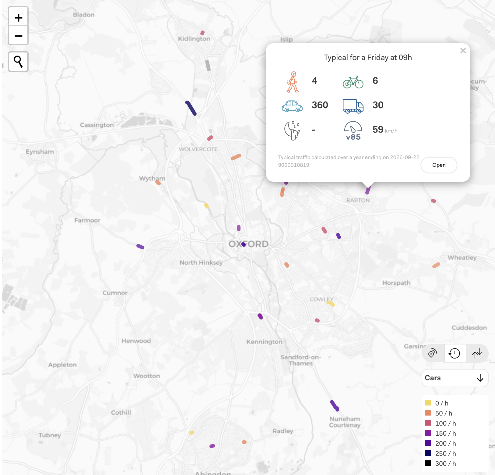
Like most highway authorities, Oxfordshire has good monitoring where it can afford to put premium equipment, usually on main roads, and very little everywhere else. High-specification camera sensors are well suited to busy junctions and main roads, but they are not cost-effective for residential streets carrying a couple of thousand vehicles a day. That leaves a large evidence gap on exactly the streets where active travel decisions are made.
The Telraam Solution
Telraam suited the brief because the barrier to entry is low. The sensors are small, inexpensive and simple enough to be installed by residents as well as council teams. Speed of deployment and low maintenance costs also proved to be some of the biggest practical advantages.
The rollout was phased. The first batch went into council-controlled buildings such as district offices and fire stations, where access and longevity were assured and officers could prove the technology. From there, the council expanded using transport planners' priorities to identify target areas, then door-knocked likely windows to recruit hosts an used newsletters to reach resident volunteers in other parts of the county.
An example
At a single residential street in east Oxford, sensor data showed a 16% rise in pedestrians after a Low Traffic Neighbourhood was introduced. It is one street rather than a network-wide finding, but it shows the kind of localised, scheme-level evidence that is hard and expensive to capture any other way.
The take away message: trial and scale
This model is replicable. Low unit cost, simple installation, low maintenance and shared ownership mean other authorities could start small, prove the value, and scale at a pace its budget allows, exactly as Oxfordshire has done. Read more about this in our blog post
Cover photo by Nils Lindner on Unsplash
Want to know more about this project?
Feel to free to get in touch.