Street profile: compare your street with other streets
Ranking & Straatprofiel • Wouter Florizoone 29 October 2021

You can find out exactly how that works in our FAQ. In this blog post, we explain why we are launching this important new functionality.
Please explain, what is this street profile?
With the street profile, we are responding concretely to user demand for comparison. Is 100 cars per hour a lot or a little for my street? It is difficult to compare if you are comparing apples and oranges or if you have no frame of reference. 100 cars on a main road is not much, but 100 cars in a residential area is a lot. By asking a few questions, we provide insight into the road categorization of your street.
To compare fairly, you have to do it between streets with similar characteristics. You can compare with streets in your own municipality or city, but also outside, you can determine the perimeter yourself.
There is no real objective criterion except the "road category" but this does not always correspond to the function of the road as it is actually used. In this application and in the FAQ article, we provide background and clarification of this complex terminology so that you can get started.
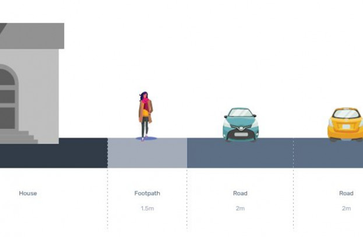
We also ask you to indicate what your street looks like. Is there a separate bicycle lane, a bus lane or a central reservation? Nobody knows, not even the government. So who is best placed to judge that than you? We ask you a number of questions to create a profile of your street based on similar parameters.
Can I fill in whether I find my street liveable or not?
No, not yet. In a later phase you will be able to assess which characteristics determine the (subjective) experience of your street.
What is the added value of this street profile?
The win-win of the street profile is that you will gain more insight into your street profile with respect to other and similar streets in your neighbourhood on the basis of a number of questions. If your street has to absorb significantly more car traffic compared to other similar streets, then you have an extra objective argument to enter into a dialogue with the local government.
Are there already comparable instruments?
No. In the framework of Straatvinken "Street-O-Sfeer" was launched. This is an instrument that goes in the same direction, but it is more focused on liveability indicators. In a next step we plan to extend this tool.
Can we make suggestions or pass on comments?
Of course you can! We innovate every day to bring our product closer to the needs of citizens and local authorities. Do you have suggestions or would you like to talk to us? Please do not hesitate to contact us at info@telraam.net.